
IMAGES TAKEN NEAR TO
White Hill, WORCESTER, WR4 0JG
Introduction
This page details the photographs taken nearby to White Hill, WR4 0JG by members of the Geograph project.
The Geograph project started in 2005 with the aim of publishing, organising and preserving representative images for every square kilometre of Great Britain, Ireland and the Isle of Man.

There are currently over 7.5m images from over14,400 individuals and you can help contribute to the project by visiting https://www.geograph.org.uk
Image Map
Images are licensed for reuse under creativecommons.org/licenses/by-sa/2.0
Notes
- Clicking on the map will re-center to the selected point.
- The higher the marker number, the further away the image location is from the centre of the postcode.
Image Listing (113 Images Found)
Images are licensed for reuse under creativecommons.org/licenses/by-sa/2.0
Image
Details
Distance
1

White Hill, Home Meadow
Part of Warndon Villages.
Image: © Chris Allen
Taken: 26 Nov 2019
0.01 miles
2
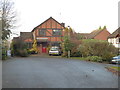
The end of White Hill, Home Meadow
This is the end of a cul-de-sac in Home Meadow. The path to the left leads to Threshfield Drive that is in the older part of Warndon and is distinct to Warndon Villages. It took me a while after passing along this path to realise that I was no longer photographing the more recent development of Warndon Villages. Home Meadow is a relatively small part of Warndon Villages
Image: © Chris Allen
Taken: 26 Nov 2019
0.03 miles
3
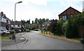
Snowberry Avenue
Late 20th century expansion of Worcester to the east of the city centre.
Image: © Bob Embleton
Taken: 16 Sep 2007
0.03 miles
4
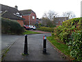
Path entering White Hill, Home Meadow, Worcester
This path leads from Cover Green to White Hill in the Home Meadow part of the Warndon Villages Complex. There are four areas with the 'Meadow' suffix and path lead freely between them all.
Image: © Chris Allen
Taken: 26 Nov 2019
0.03 miles
5
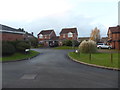
Hay Close, Home Meadow
Seen from Snowberry Avenue within Home Meadow that is part of Warndon Villages.
Image: © Chris Allen
Taken: 26 Nov 2019
0.05 miles
6

Tolladine
An unexpectedly green area of Worcester seen in 2005 and revisited when sorting through old photos .
Image: © Andrew Darge
Taken: 6 May 2005
0.06 miles
7
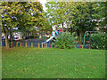
Playground off Threshfield Drive, Worcester
Descending from Leopard Hill towards Tolladine, building works forced me down an unfamiliar path and I found myself by this playground. I eventually worked out where I was.
Image: © Chris Allen
Taken: 3 Nov 2021
0.06 miles
8
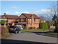
Snowberry Avenue and Hay Close, Home Meadow
This is one of the estates making up the Warndon Villages complex. You could spend quite some time covering all the roads and paths in Warndon Villages.
Image: © Chris Allen
Taken: 11 Feb 2018
0.06 miles
9
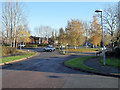
Bottom of Snowberry Avenue, Home Meadow
At the junction of Woodgreen Drive the B4638. Straight over at the roundabout takes you into the Lyppards.
Image: © Chris Allen
Taken: 1 Dec 2019
0.07 miles
10

Daty Croft, Home Meadow
Seen from Snowberry Avenue that is a sinuous cul-de-sac forming the main spine of Home Meadow.
Image: © Chris Allen
Taken: 26 Nov 2019
0.08 miles