Path entering White Hill, Home Meadow, Worcester
Introduction
The photograph on this page of Path entering White Hill, Home Meadow, Worcester by Chris Allen as part of the Geograph project.
The Geograph project started in 2005 with the aim of publishing, organising and preserving representative images for every square kilometre of Great Britain, Ireland and the Isle of Man.

There are currently over 7.5m images from over 14,400 individuals and you can help contribute to the project by visiting https://www.geograph.org.uk
Path entering White Hill, Home Meadow, Worcester
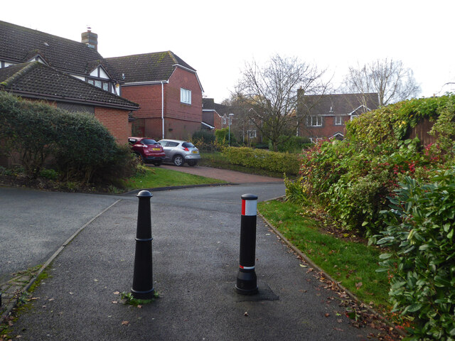
Image: © Chris Allen Taken: 26 Nov 2019
This path leads from Cover Green to White Hill in the Home Meadow part of the Warndon Villages Complex. There are four areas with the 'Meadow' suffix and path lead freely between them all.
Images are licensed for reuse under creativecommons.org/licenses/by-sa/2.0
Image Location
Latitude
52.199476
Longitude
-2.18504