
IMAGES TAKEN NEAR TO
Stirling Avenue, WORCESTER, WR4 0EJ
Introduction
This page details the photographs taken nearby to Stirling Avenue, WR4 0EJ by members of the Geograph project.
The Geograph project started in 2005 with the aim of publishing, organising and preserving representative images for every square kilometre of Great Britain, Ireland and the Isle of Man.

There are currently over 7.5m images from over14,400 individuals and you can help contribute to the project by visiting https://www.geograph.org.uk
Image Map
Images are licensed for reuse under creativecommons.org/licenses/by-sa/2.0
Notes
- Clicking on the map will re-center to the selected point.
- The higher the marker number, the further away the image location is from the centre of the postcode.
Image Listing (76 Images Found)
Images are licensed for reuse under creativecommons.org/licenses/by-sa/2.0
Image
Details
Distance
1
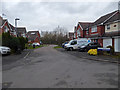
Bridgnorth Row, Berkeley-Beverborne
One corner of the large Warndon Villages development. Seen from the junction with Stirling Avenue.
Image: © Chris Allen
Taken: 24 Jan 2020
0.02 miles
2
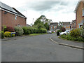
Castell Place, Berkeley-Pendesham, Worcester
In an area where the street names nearly all appear to have connections with places with castles this one is named after the Welsh for castle. Seen from Corfe Avenue (see what I mean!).
Image: © Chris Allen
Taken: 22 May 2021
0.06 miles
3
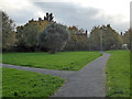
Paths and grass in the Berkeleys
Part of the large complex of Warndon Villages. It was only mid-afternoon but getting very gloomy. I had mislocated an earlier photograph to this location, so I have now correctly located that and added this in its place.
Image: © Chris Allen
Taken: 4 Nov 2019
0.06 miles
4
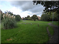
Paths and grass in Warndon Villages
A pleasant area among all the housing estates making up Warndon Villages. I believe this area is Berkeley-Beverborne,
Image: © Chris Allen
Taken: 6 Oct 2019
0.08 miles
5
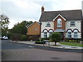
Lewes Gardens from Corfe Avenue
This part of Warndon Villages is Berkeley-Pendesham and the street names seem to have a possible castle theme. I am stood in Corfe Avenue and Lewes Gardens extends to the left.
Image: © Chris Allen
Taken: 6 Oct 2019
0.08 miles
6
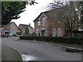
Chepstow Avenue with Blair Close to the right
In the part of Warndon Villages known as Berkeley-Beverborne. Warndon Villages is a large area of interlinked modern housing developments in Worcester.
Image: © Chris Allen
Taken: 6 Oct 2019
0.09 miles
7
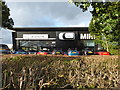
Main dealer, Worcester
Rybrook Mini main dealer complete with a car mounted on the wall. It is essentially part of the BMW main dealership on this site.
Image: © Chris Allen
Taken: 6 Oct 2019
0.09 miles
8
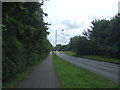
Berkeley Way, Worcester (B4639)
Looking south east.
Image: © JThomas
Taken: 22 Jul 2017
0.09 miles
9
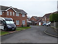
Dunster Close, Berkeley-Beverborne
A cul-de-sac in Warndon Villages. I have set myself a task to photograph every named street in the four separate complexes that make up the villages (Harley, Lyppard, Berkeley and Meadow). However, Covid-19 has put that project on hold at the moment.
Image: © Chris Allen
Taken: 24 Jan 2020
0.09 miles
10
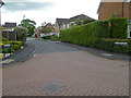
Walkworth Avenue, Berkeley-Pendesham, Worcester
Seen from Corfe Avenue. Virtually all the street names in the Berkeleys seem to be after places with castles. However Walkworth is not a castle but Warkworth is. Perhaps somebody got the spelling wrong.
Image: © Chris Allen
Taken: 22 May 2021
0.10 miles