Dunster Close, Berkeley-Beverborne
Introduction
The photograph on this page of Dunster Close, Berkeley-Beverborne by Chris Allen as part of the Geograph project.
The Geograph project started in 2005 with the aim of publishing, organising and preserving representative images for every square kilometre of Great Britain, Ireland and the Isle of Man.

There are currently over 7.5m images from over 14,400 individuals and you can help contribute to the project by visiting https://www.geograph.org.uk
Dunster Close, Berkeley-Beverborne
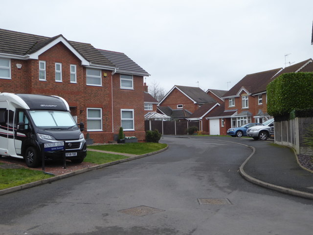
Image: © Chris Allen Taken: 24 Jan 2020
A cul-de-sac in Warndon Villages. I have set myself a task to photograph every named street in the four separate complexes that make up the villages (Harley, Lyppard, Berkeley and Meadow). However, Covid-19 has put that project on hold at the moment.
Images are licensed for reuse under creativecommons.org/licenses/by-sa/2.0
Image Location
Latitude
52.211894
Longitude
-2.17792