
IMAGES TAKEN NEAR TO
Blue House Point Road, STOCKTON-ON-TEES, TS18 2PJ
Introduction
This page details the photographs taken nearby to Blue House Point Road, TS18 2PJ by members of the Geograph project.
The Geograph project started in 2005 with the aim of publishing, organising and preserving representative images for every square kilometre of Great Britain, Ireland and the Isle of Man.

There are currently over 7.5m images from over14,400 individuals and you can help contribute to the project by visiting https://www.geograph.org.uk
Image Map
Images are licensed for reuse under creativecommons.org/licenses/by-sa/2.0
Notes
- Clicking on the map will re-center to the selected point.
- The higher the marker number, the further away the image location is from the centre of the postcode.
Image Listing (9 Images Found)
Images are licensed for reuse under creativecommons.org/licenses/by-sa/2.0
Image
Details
Distance
1
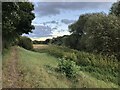
Lustrum Beck
The beck runs through the heart of the industrial estates on the southern side of Portrack Road.
Image: © David Robinson
Taken: 24 Sep 2021
0.09 miles
2
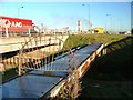
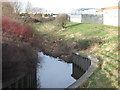
Pipebridge Over Lustrum Beck
South of the A1046.
Image: © Mick Garratt
Taken: 7 Dec 2005
0.15 miles
3
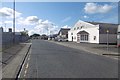
Portrack Grange Road
Portrack Industrial Estate, Stockton. Portrack Grange was a farm that is shown on the 1953 1:25,000 map.
Image: © Richard Webb
Taken: 10 Aug 2016
0.17 miles
5
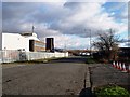
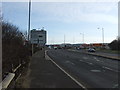
North Tees Industrial Estate
This photograph shows a section of the North Tees Industrial Estate. The A19 road bridge can just be seen on the horizon. The road shown in the foreground of the picture is Teesway (TS18). The picture was taken looking in a south-south-easterly direction towards Middlesbrough.
Image: © Philip Barker
Taken: 29 Jan 2010
0.17 miles
7
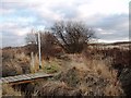
Path to the Teesdale Way at Portrack
This photograph shows a footpath to (and direction indicator for) the Teesdale Way long-distance footpath which runs along the north bank of the River Tees. The footpath shown in this picture crosses The Marshes in the Portrack area of Stockton-on-Tees. The picture was taken looking in an east-south-easterly direction towards the Tees (railway) Marshalling Yard. The A19 Tees fly-over can just be seen in the left-hand side of the picture. Viewers with good eye-sight might see two of the overhead lighting systems used in the marshalling yard. Roseberry Topping can also be seen on the horizon; there is, however, a closer view here: Image .
Image: © Philip Barker
Taken: 29 Jan 2010
0.20 miles
8
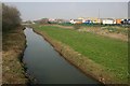
Lustrum Beck
With the North Tees Industrial Estate on the right. This is the old course of the River Tees. In 1810 the "New Cut" was opened to bypass a large meander of the river.
Image: © Mick Garratt
Taken: 28 Mar 2007
0.22 miles
9

Could be anywhere ....
... Lustram Industrial Estate.
Image: © Mick Garratt
Taken: 7 Dec 2005
0.25 miles