Lustrum Beck
Introduction
The photograph on this page of Lustrum Beck by Mick Garratt as part of the Geograph project.
The Geograph project started in 2005 with the aim of publishing, organising and preserving representative images for every square kilometre of Great Britain, Ireland and the Isle of Man.

There are currently over 7.5m images from over 14,400 individuals and you can help contribute to the project by visiting https://www.geograph.org.uk
Lustrum Beck
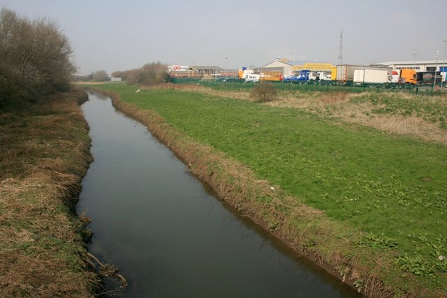
Image: © Mick Garratt Taken: 28 Mar 2007
With the North Tees Industrial Estate on the right. This is the old course of the River Tees. In 1810 the "New Cut" was opened to bypass a large meander of the river.
Images are licensed for reuse under creativecommons.org/licenses/by-sa/2.0
Image Location


Leaflet Map data © OpenStreetMap
Latitude
54.572049
Longitude
-1.274046