Portrack Grange Road
Introduction
The photograph on this page of Portrack Grange Road by Richard Webb as part of the Geograph project.
The Geograph project started in 2005 with the aim of publishing, organising and preserving representative images for every square kilometre of Great Britain, Ireland and the Isle of Man.

There are currently over 7.5m images from over 14,400 individuals and you can help contribute to the project by visiting https://www.geograph.org.uk
Portrack Grange Road
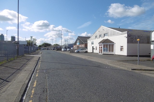
Image: © Richard Webb Taken: 10 Aug 2016
Portrack Industrial Estate, Stockton. Portrack Grange was a farm that is shown on the 1953 1:25,000 map.
Images are licensed for reuse under creativecommons.org/licenses/by-sa/2.0
Image Location
Latitude
54.572286
Longitude
-1.283633