
IMAGES TAKEN NEAR TO
Wesley Crescent, SHIFNAL, TF11 9AG
Introduction
This page details the photographs taken nearby to Wesley Crescent, TF11 9AG by members of the Geograph project.
The Geograph project started in 2005 with the aim of publishing, organising and preserving representative images for every square kilometre of Great Britain, Ireland and the Isle of Man.

There are currently over 7.5m images from over14,400 individuals and you can help contribute to the project by visiting https://www.geograph.org.uk
Image Map
Images are licensed for reuse under creativecommons.org/licenses/by-sa/2.0
Notes
- Clicking on the map will re-center to the selected point.
- The higher the marker number, the further away the image location is from the centre of the postcode.
Image Listing (282 Images Found)
Images are licensed for reuse under creativecommons.org/licenses/by-sa/2.0
Image
Details
Distance
1
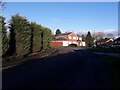
Stafford Avenue joins Wesley Crescent
A well established early 1960s housing development. I grew up here, and spent a childhood riding around these roads and paths on an assortment of bikes with my two brothers. How we never knocked anyone off is a mystery; we did however fall off plenty ourselves, and I still have a couple of scars to prove it 50 years later.
Image: © Richard Law
Taken: 12 Dec 2020
0.03 miles
2

Park Street
Possible former stables at Park House, now converted for residential use.
Image: © David Rogers
Taken: 15 May 2009
0.04 miles
3
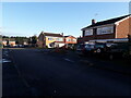
Houses on the corner of Vicarage Drive and Wesley Crescent
My father bought the house on the right (with the Land Rover & Volvo parked in front) in 1969 for the princely sum of £6000 or so. He added a second garage to it, and the original garage has since been converted to a playroom or similar by subsequent owners. We won't see house prices like that again.
Image: © Richard Law
Taken: 12 Dec 2020
0.05 miles
4

Wesley Brook near Dyas Mews, Shifnal
A strip of woodland allows access to the left bank here, while the right bank is delimited by garden boundaries.
Image: © Mike White
Taken: 14 Jun 2009
0.05 miles
5
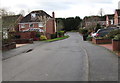
West along Dyas Close, Shifnal
Viewed from the A464 Park Street end looking along Dyas Close
towards trees on a bank of Wesley Brook, a tributary of the River Worfe.
Image: © Jaggery
Taken: 26 Nov 2015
0.05 miles
6
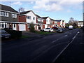
Houses on Applebrook
Applebrook was built in the late '70s or early '80s, some while after the original development of the nearby Image
Image: © Richard Law
Taken: 15 Dec 2020
0.05 miles
7
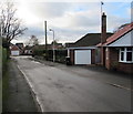
West along Brooklands Avenue, Shifnal
Cul-de-sac between the A464 Park Street and Wesley Brook.
Image: © Jaggery
Taken: 26 Nov 2015
0.06 miles
8
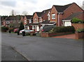
North side of Dyas Close, Shifnal
Dyas Close extends westwards for 90 metres from the A464 Park Street to Wesley Brook (behind the house on the left).
Image: © Jaggery
Taken: 26 Nov 2015
0.07 miles
9
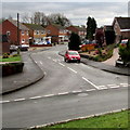
Vicarage Drive, Shifnal
Viewed across Church Street from the edge of St Andrew's churchyard.
Image: © Jaggery
Taken: 26 Nov 2015
0.07 miles
10
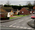
Vicarage Drive bungalows, Shifnal
Near the Church Street junction.
Image: © Jaggery
Taken: 26 Nov 2015
0.07 miles