Stafford Avenue joins Wesley Crescent
Introduction
The photograph on this page of Stafford Avenue joins Wesley Crescent by Richard Law as part of the Geograph project.
The Geograph project started in 2005 with the aim of publishing, organising and preserving representative images for every square kilometre of Great Britain, Ireland and the Isle of Man.

There are currently over 7.5m images from over 14,400 individuals and you can help contribute to the project by visiting https://www.geograph.org.uk
Stafford Avenue joins Wesley Crescent
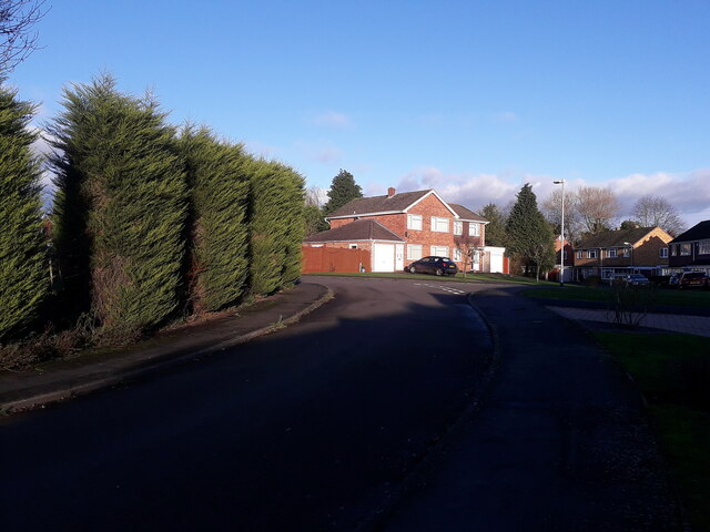
Image: © Richard Law Taken: 12 Dec 2020
A well established early 1960s housing development. I grew up here, and spent a childhood riding around these roads and paths on an assortment of bikes with my two brothers. How we never knocked anyone off is a mystery; we did however fall off plenty ourselves, and I still have a couple of scars to prove it 50 years later.
Images are licensed for reuse under creativecommons.org/licenses/by-sa/2.0
Image Location
Latitude
52.662642
Longitude
-2.375655