Houses on Applebrook
Introduction
The photograph on this page of Houses on Applebrook by Richard Law as part of the Geograph project.
The Geograph project started in 2005 with the aim of publishing, organising and preserving representative images for every square kilometre of Great Britain, Ireland and the Isle of Man.

There are currently over 7.5m images from over 14,400 individuals and you can help contribute to the project by visiting https://www.geograph.org.uk
Houses on Applebrook
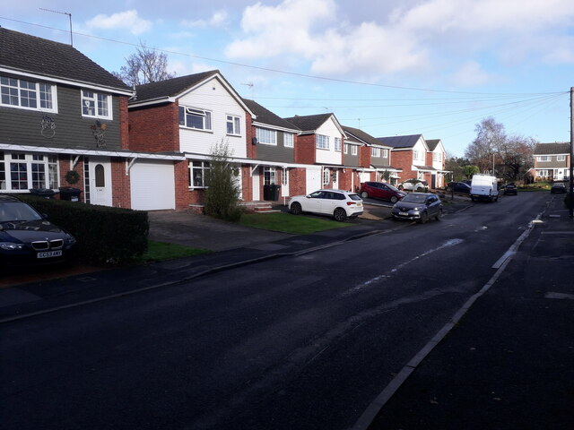
Image: © Richard Law Taken: 15 Dec 2020
Applebrook was built in the late '70s or early '80s, some while after the original development of the nearby Image
Images are licensed for reuse under creativecommons.org/licenses/by-sa/2.0
Image Location
Latitude
52.662104
Longitude
-2.375059