IMAGES TAKEN NEAR TO
Corrance Road, LONDON, SW2 5RH
Introduction
This page details the photographs taken nearby to Corrance Road, SW2 5RH by members of the Geograph project.
The Geograph project started in 2005 with the aim of publishing, organising and preserving representative images for every square kilometre of Great Britain, Ireland and the Isle of Man.

There are currently over 7.5m images from over14,400 individuals and you can help contribute to the project by visiting https://www.geograph.org.uk
Image Map
Images are licensed for reuse under creativecommons.org/licenses/by-sa/2.0
Notes
- Clicking on the map will re-center to the selected point.
- The higher the marker number, the further away the image location is from the centre of the postcode.
Image Listing (58 Images Found)
Images are licensed for reuse under creativecommons.org/licenses/by-sa/2.0
Image
Details
Distance
1
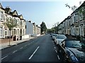
Corrance Road, Brixton
Looking south towards Acre Lane. Raeburn Street visible on left.
Image: © Clint Mann
Taken: 16 Sep 2014
0.01 miles
2
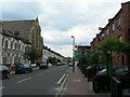
Solon Road SW2
Brixton Baptist Church pops up rather incongruously out of the middle of these terrace houses on a quiet residential side street.
Image: © Danny P Robinson
Taken: 15 Aug 2006
0.05 miles
3
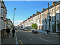
Sandmere Road, SW4
Near the corner of Tintern Street. Parking is for residents only -- if it was unrestricted the road would be jammed with parked commuters cars.
Image: © Danny P Robinson
Taken: 21 Nov 2007
0.07 miles
4
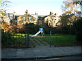
Slide in a Recreation Area, Corrance Road, SW2
This solitary slide is the only play feature in this tiny recreation area at the Acre Lane end of Corrance Road. The houses behind are on Ballater Road. It's not easy to see from this photo, but the back gardens are tiny.
Image: © Danny P Robinson
Taken: 21 Nov 2007
0.07 miles
5
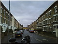
Concanon Road, SW2
Looking towards Acre Lane.
Image: © Danny P Robinson
Taken: 23 Feb 2007
0.08 miles
6
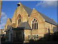
Adventist Church, Santley Street
St Paul's was erected by the Rev G Blake Concannon, at a cost of £16,000, and Consecrated by the Bishop of Rochester on 29 July 1881. Originally seating 1500 people (including galleries which were later removed), it is in decorated Gothic style. A planned tower at the west end was never built. It was declared redundant by the Anglican church in 1980, and exchanged for the smaller Seventh Day Adventist church Image on Ferndale Road (built 1958). It is still used by the Adventists.
Image: © Stephen Craven
Taken: 21 Nov 2006
0.09 miles
7
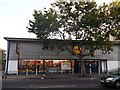
Lidl Supermarket, Brixton
Budget supermarket on the A2217 Acre Lane.
Image: © David Anstiss
Taken: 2 Oct 2011
0.11 miles
8
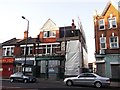
The Duke of Wellington, Public House, Brixton
Closed public house on the A2217 Acre Lane.
Image: © David Anstiss
Taken: 2 Oct 2011
0.11 miles
9
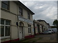
Acre Lane Builders Merchants, Acre Lane SW2
Image: © Robin Sones
Taken: 28 Sep 2013
0.12 miles