Solon Road SW2
Introduction
The photograph on this page of Solon Road SW2 by Danny P Robinson as part of the Geograph project.
The Geograph project started in 2005 with the aim of publishing, organising and preserving representative images for every square kilometre of Great Britain, Ireland and the Isle of Man.

There are currently over 7.5m images from over 14,400 individuals and you can help contribute to the project by visiting https://www.geograph.org.uk
Solon Road SW2
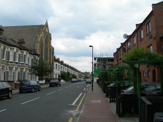
Image: © Danny P Robinson Taken: 15 Aug 2006
Brixton Baptist Church pops up rather incongruously out of the middle of these terrace houses on a quiet residential side street.
Images are licensed for reuse under creativecommons.org/licenses/by-sa/2.0
Image Location
Latitude
51.460786
Longitude
-0.125803