IMAGES TAKEN NEAR TO
Cleveland Gardens, LONDON, SW13 0AJ
Introduction
This page details the photographs taken nearby to Cleveland Gardens, SW13 0AJ by members of the Geograph project.
The Geograph project started in 2005 with the aim of publishing, organising and preserving representative images for every square kilometre of Great Britain, Ireland and the Isle of Man.

There are currently over 7.5m images from over14,400 individuals and you can help contribute to the project by visiting https://www.geograph.org.uk
Image Map
Images are licensed for reuse under creativecommons.org/licenses/by-sa/2.0
Notes
- Clicking on the map will re-center to the selected point.
- The higher the marker number, the further away the image location is from the centre of the postcode.
Image Listing (341 Images Found)
Images are licensed for reuse under creativecommons.org/licenses/by-sa/2.0
Image
Details
Distance
1
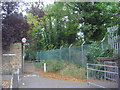
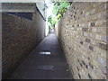
Public footpath from Archway Street to Barnes Bridge station
Image: © David Howard
Taken: 7 Sep 2009
0.07 miles
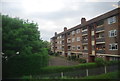
3
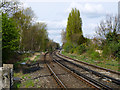
Hounslow Loop line west of Barnes
Viewed from the Vine Road level crossing. Barnes Bridge station may just be made out in the distance,
Image: © Robin Webster
Taken: 14 Apr 2012
0.08 miles
6
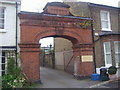
Entrance to Barnes infant school, Archway Street
Image: © David Howard
Taken: 7 Sep 2009
0.10 miles
8
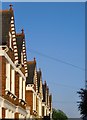
Gables in Elm Bank Gardens, SW13
It looks as if in six out of seven cases the Victorian ridge-tiles have survived - and so have all of the fleur-de-lys finials.
Image: © Stefan Czapski
Taken: 17 May 2014
0.12 miles