Hounslow Loop line west of Barnes
Introduction
The photograph on this page of Hounslow Loop line west of Barnes by Robin Webster as part of the Geograph project.
The Geograph project started in 2005 with the aim of publishing, organising and preserving representative images for every square kilometre of Great Britain, Ireland and the Isle of Man.

There are currently over 7.5m images from over 14,400 individuals and you can help contribute to the project by visiting https://www.geograph.org.uk
Hounslow Loop line west of Barnes
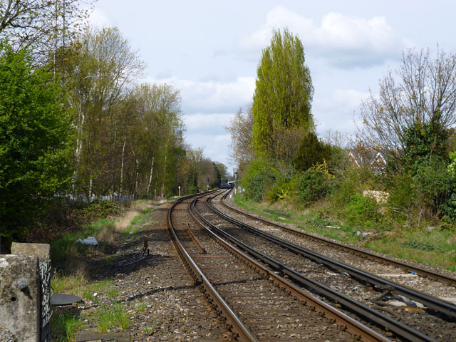
Image: © Robin Webster Taken: 14 Apr 2012
Viewed from the Vine Road level crossing. Barnes Bridge station may just be made out in the distance,
Images are licensed for reuse under creativecommons.org/licenses/by-sa/2.0
Image Location
Latitude
51.469614
Longitude
-0.248978