
IMAGES TAKEN NEAR TO
Grove Road, STONE, ST15 0DW
Introduction
This page details the photographs taken nearby to Grove Road, ST15 0DW by members of the Geograph project.
The Geograph project started in 2005 with the aim of publishing, organising and preserving representative images for every square kilometre of Great Britain, Ireland and the Isle of Man.

There are currently over 7.5m images from over14,400 individuals and you can help contribute to the project by visiting https://www.geograph.org.uk
Image Map
Images are licensed for reuse under creativecommons.org/licenses/by-sa/2.0
Notes
- Clicking on the map will re-center to the selected point.
- The higher the marker number, the further away the image location is from the centre of the postcode.
Image Listing (11 Images Found)
Images are licensed for reuse under creativecommons.org/licenses/by-sa/2.0
Image
Details
Distance
1
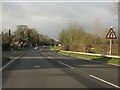
A34 near Stone Meadows
Although laid out with long sightlines for 70mph traffic, the A34 is now mostly restricted to 50mph with frequent speed cameras such as that in the distance. Odd, bearing in mind that the narrow, less safe roads which join it generally have 60mph limits. Obviously nothing to do with potential revenue from those cameras.
Image: © Peter Whatley
Taken: 7 Dec 2011
0.02 miles
4
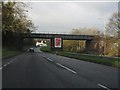
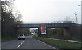
A34 railway overbridge
The line forms part of the principal route between Birmingham and Manchester.
Image: © Peter Whatley
Taken: 7 Dec 2011
0.07 miles
8

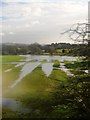
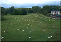
Contractor?s yard at Stone
Viewed from a passing train.
Image: © Stephen Craven
Taken: 23 Jun 2014
0.20 miles
10
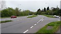
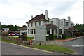
Western relief road
Stone's western relief road is pictured here at its junction with Yarnfield Lane.
Image: © Peter Mackenzie
Taken: 26 Apr 2017
0.25 miles