A34 near Stone Meadows
Introduction
The photograph on this page of A34 near Stone Meadows by Peter Whatley as part of the Geograph project.
The Geograph project started in 2005 with the aim of publishing, organising and preserving representative images for every square kilometre of Great Britain, Ireland and the Isle of Man.

There are currently over 7.5m images from over 14,400 individuals and you can help contribute to the project by visiting https://www.geograph.org.uk
A34 near Stone Meadows
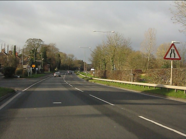
Image: © Peter Whatley Taken: 7 Dec 2011
Although laid out with long sightlines for 70mph traffic, the A34 is now mostly restricted to 50mph with frequent speed cameras such as that in the distance. Odd, bearing in mind that the narrow, less safe roads which join it generally have 60mph limits. Obviously nothing to do with potential revenue from those cameras.
Images are licensed for reuse under creativecommons.org/licenses/by-sa/2.0
Image Location
Latitude
52.900996
Longitude
-2.157096