
IMAGES TAKEN NEAR TO
London Road, ASCOT, SL5 0JW
Introduction
This page details the photographs taken nearby to London Road, SL5 0JW by members of the Geograph project.
The Geograph project started in 2005 with the aim of publishing, organising and preserving representative images for every square kilometre of Great Britain, Ireland and the Isle of Man.

There are currently over 7.5m images from over14,400 individuals and you can help contribute to the project by visiting https://www.geograph.org.uk
Image Map
Images are licensed for reuse under creativecommons.org/licenses/by-sa/2.0
Notes
- Clicking on the map will re-center to the selected point.
- The higher the marker number, the further away the image location is from the centre of the postcode.
Image Listing (10 Images Found)
Images are licensed for reuse under creativecommons.org/licenses/by-sa/2.0
Image
Details
Distance
2
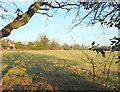
Field between the houses, Sunningdale
This is all very outer London commuter land around here, with built up suburban areas separated by patches of farmland and woods.
Image: © Des Blenkinsopp
Taken: 19 Jan 2017
0.09 miles
3
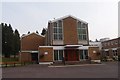
The Sacred Heart Roman Catholic Church, Sunningdale
Erected in 1964.
Image: © Michael FORD
Taken: Unknown
0.09 miles
4
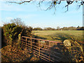
Gate along the Footpath
A fairly rural view, but the field is surrounded by houses. A typical scene in this area where fields, woodland and housing are in roughly equal proportions.
Image: © Des Blenkinsopp
Taken: 19 Jan 2017
0.09 miles
6
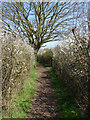
Footpath, Sunningdale
The blackthorn edged footpath the runs from the A30 to Bedford Lane. All the horses well and truly shielded from public gaze on this footpath.
Image: © Alan Hunt
Taken: 18 Apr 2010
0.16 miles
7
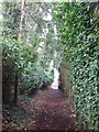
Hidden pathways
There are several paths in the Broomhall area, not at all clear on the OS 1:50000 series map.
Image: © don cload
Taken: 25 Apr 2010
0.17 miles
8
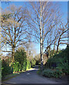
Shrubs Hill Lane
A leafy residential back road which is also a public bridleway.
Image: © Des Blenkinsopp
Taken: 29 Jan 2020
0.18 miles
9
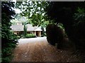
Sunningdale - Bungalow with own access track
Track off Shrubbs Hill Lane
Image: © James Emmans
Taken: 21 Jul 2017
0.18 miles
10
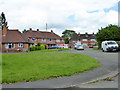
Coworth Close, Sunningdale
Actually a residential crescent, from and to Bedford Lane.
Image: © Robin Webster
Taken: 26 Jun 2016
0.25 miles