Hidden pathways
Introduction
The photograph on this page of Hidden pathways by don cload as part of the Geograph project.
The Geograph project started in 2005 with the aim of publishing, organising and preserving representative images for every square kilometre of Great Britain, Ireland and the Isle of Man.

There are currently over 7.5m images from over 14,400 individuals and you can help contribute to the project by visiting https://www.geograph.org.uk
Hidden pathways
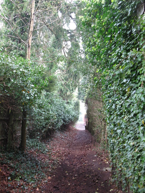
Image: © don cload Taken: 25 Apr 2010
There are several paths in the Broomhall area, not at all clear on the OS 1:50000 series map.
Images are licensed for reuse under creativecommons.org/licenses/by-sa/2.0
Image Location
Latitude
51.394905
Longitude
-0.620677