IMAGES TAKEN NEAR TO
Frank Sutton Way, SLOUGH, SL1 3FZ
Introduction
This page details the photographs taken nearby to Frank Sutton Way, SL1 3FZ by members of the Geograph project.
The Geograph project started in 2005 with the aim of publishing, organising and preserving representative images for every square kilometre of Great Britain, Ireland and the Isle of Man.

There are currently over 7.5m images from over14,400 individuals and you can help contribute to the project by visiting https://www.geograph.org.uk
Image Map
Images are licensed for reuse under creativecommons.org/licenses/by-sa/2.0
Notes
- Clicking on the map will re-center to the selected point.
- The higher the marker number, the further away the image location is from the centre of the postcode.
Image Listing (21 Images Found)
Images are licensed for reuse under creativecommons.org/licenses/by-sa/2.0
Image
Details
Distance
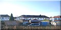
3
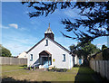
St Michael's Church, Slough
This little C of E church is tucked away on a small plot between a large school and a park.
Image: © Des Blenkinsopp
Taken: 2 Sep 2013
0.11 miles
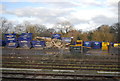
6
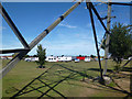
The Fair is Coming
Fairground wagons and trailers gathering on Godolphin Playing Field.
Image: © Des Blenkinsopp
Taken: 2 Sep 2013
0.16 miles
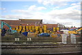
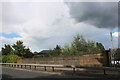
7
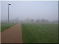
Godolphin Recreation Ground
The path across the recreation ground forms part of a cycle route to Farnham Royal. It's a foggy day around Slough.
Image: © Derek Harper
Taken: 19 Nov 2010
0.16 miles
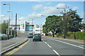
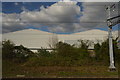
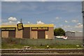
10
Railway bridge on Farnham Road, Slough
Image: © David Howard
Taken: 8 Sep 2024
0.19 miles