Godolphin Recreation Ground
Introduction
The photograph on this page of Godolphin Recreation Ground by Derek Harper as part of the Geograph project.
The Geograph project started in 2005 with the aim of publishing, organising and preserving representative images for every square kilometre of Great Britain, Ireland and the Isle of Man.

There are currently over 7.5m images from over 14,400 individuals and you can help contribute to the project by visiting https://www.geograph.org.uk
Godolphin Recreation Ground
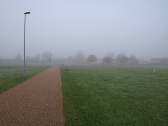
Image: © Derek Harper Taken: 19 Nov 2010
The path across the recreation ground forms part of a cycle route to Farnham Royal. It's a foggy day around Slough.
Images are licensed for reuse under creativecommons.org/licenses/by-sa/2.0
Image Location
Latitude
51.519669
Longitude
-0.609128