
IMAGES TAKEN NEAR TO
Haugh Road, ROTHERHAM, S62 7AN
Introduction
This page details the photographs taken nearby to Haugh Road, S62 7AN by members of the Geograph project.
The Geograph project started in 2005 with the aim of publishing, organising and preserving representative images for every square kilometre of Great Britain, Ireland and the Isle of Man.

There are currently over 7.5m images from over14,400 individuals and you can help contribute to the project by visiting https://www.geograph.org.uk
Image Map
Images are licensed for reuse under creativecommons.org/licenses/by-sa/2.0
Notes
- Clicking on the map will re-center to the selected point.
- The higher the marker number, the further away the image location is from the centre of the postcode.
Image Listing (8 Images Found)
Images are licensed for reuse under creativecommons.org/licenses/by-sa/2.0
Image
Details
Distance
2
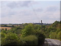
Greasbrough Lane, Rawmarsh
Looking towards the site of the now demolished New Stubbin Colliery. Submitted to the BBC Domesday Reloaded project. Image
Image: © Martin Speck
Taken: 2 Sep 2011
0.15 miles
3
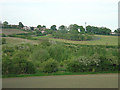
Greasbrough Lane Cemetery
The scrubland in the foreground is the site of former colliery workings.
Image: © Alan Murray-Rust
Taken: 11 May 2008
0.17 miles
4
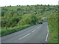
Greasbrough Lane
The high ground behind is a former colliery waste tip; the railings mark the bridge over the colliery railway.
Image: © Alan Murray-Rust
Taken: 11 May 2008
0.20 miles
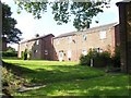
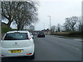
7
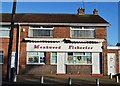
Fish and chip shop, Monkwood Road, Rawmarsh
Image: © Neil Theasby
Taken: 5 Dec 2012
0.21 miles
8
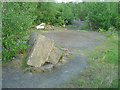
Rawmarsh, old colliery workings
Scrubland now covers this part of the colliery site. There is a shaft marked in this area but was not in evidence.
Image: © Alan Murray-Rust
Taken: 11 May 2008
0.22 miles