Rawmarsh, old colliery workings
Introduction
The photograph on this page of Rawmarsh, old colliery workings by Alan Murray-Rust as part of the Geograph project.
The Geograph project started in 2005 with the aim of publishing, organising and preserving representative images for every square kilometre of Great Britain, Ireland and the Isle of Man.

There are currently over 7.5m images from over 14,400 individuals and you can help contribute to the project by visiting https://www.geograph.org.uk
Rawmarsh, old colliery workings
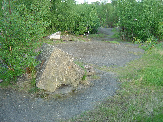
Image: © Alan Murray-Rust Taken: 11 May 2008
Scrubland now covers this part of the colliery site. There is a shaft marked in this area but was not in evidence.
Images are licensed for reuse under creativecommons.org/licenses/by-sa/2.0
Image Location
Latitude
53.46168
Longitude
-1.350353