
IMAGES TAKEN NEAR TO
Handley Road, CHESTERFIELD, S43 2ES
Introduction
This page details the photographs taken nearby to Handley Road, S43 2ES by members of the Geograph project.
The Geograph project started in 2005 with the aim of publishing, organising and preserving representative images for every square kilometre of Great Britain, Ireland and the Isle of Man.

There are currently over 7.5m images from over14,400 individuals and you can help contribute to the project by visiting https://www.geograph.org.uk
Image Map
Images are licensed for reuse under creativecommons.org/licenses/by-sa/2.0
Notes
- Clicking on the map will re-center to the selected point.
- The higher the marker number, the further away the image location is from the centre of the postcode.
Image Listing (16 Images Found)
Images are licensed for reuse under creativecommons.org/licenses/by-sa/2.0
Image
Details
Distance
1
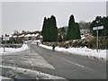
Handley Road, Glasshouse Green
On the outskirts of Chesterfield, approaching New Whittington.
Image: © Chris Morgan
Taken: 23 Jan 2013
0.09 miles
2
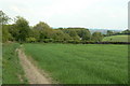
Glasshouse Common tramroad
A public footpath follows the line of the tramroad which connected the ironstone mines on the Common to the Chesterfield Canal. In this view, looking south-east towards New Whittington, its line follows the line of trees round in a gentle S-curve, passing alongside the area of mature woodland just right of centre.
Image: © Alan Murray-Rust
Taken: 18 May 2010
0.12 miles
3
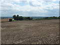
A harvested field
From Binkley Cottages, near Nether Handley.
Image: © Peter Barr
Taken: 3 Aug 2010
0.16 miles
4
View to Binkley Cottages from Slag Lane
Image: © Neil Theasby
Taken: 15 Oct 2012
0.16 miles
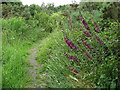
6
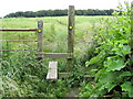
New Whittington - Looking back to Grasscroft Wood
Image: © Alan Heardman
Taken: 27 Jun 2008
0.17 miles
7
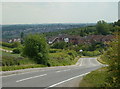
Long Lane descending by Glasshouse Common
Looking south from the start of a footpath at the edge of the square.
Image: © Andrew Hill
Taken: 10 Jun 2011
0.17 miles
8
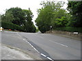
New Whittington - Handley Road and Eckington Road
Image: © Alan Heardman
Taken: 27 Jun 2008
0.19 miles
9
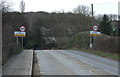
Entering New Whittington
Heading south west on Eckington Road (B6052).
Image: © JThomas
Taken: 7 Mar 2015
0.20 miles
10
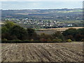
Field with view down to Barrow Hill
View from a path across to Grasscroft Wood. Houses in Glasshouse Common are in a dip past the trees, looking out further to Barrow Hill Image with the two chimneys, almost in the valley floor of the Rothher valley.
Image: © Andrew Hill
Taken: 6 Oct 2012
0.21 miles