
IMAGES TAKEN NEAR TO
Haybrook Court, SHEFFIELD, S17 4DY
Introduction
This page details the photographs taken nearby to Haybrook Court, S17 4DY by members of the Geograph project.
The Geograph project started in 2005 with the aim of publishing, organising and preserving representative images for every square kilometre of Great Britain, Ireland and the Isle of Man.

There are currently over 7.5m images from over14,400 individuals and you can help contribute to the project by visiting https://www.geograph.org.uk
Image Map
Images are licensed for reuse under creativecommons.org/licenses/by-sa/2.0
Notes
- Clicking on the map will re-center to the selected point.
- The higher the marker number, the further away the image location is from the centre of the postcode.
Image Listing (47 Images Found)
Images are licensed for reuse under creativecommons.org/licenses/by-sa/2.0
Image
Details
Distance
2
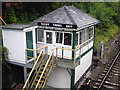
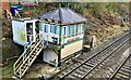
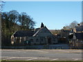
Totley Signal box
This picture shows the Totley tunnel East Signal box.
Image: © James Haynes
Taken: 11 May 2008
0.05 miles
3
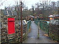
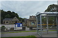
Railway footbridge and post box
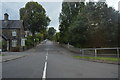
View from Totley Brook Road. There are some houses and bungalows in the valley floor, with houses on Marstone Crescent above the steep wooded bank.
Image: © Andrew Hill
Taken: 20 Nov 2012
0.05 miles
8
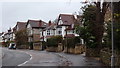
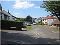
King Ecgbert Road
The residential street leads up towards King Ecgbert secondary school.
Image: © Andrew Hill
Taken: 20 Nov 2012
0.10 miles
9
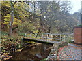
Footbridge over Oldhay Brook
The path climbs up the wooded hillside beyond.
Image: © Andrew Hill
Taken: 20 Nov 2012
0.11 miles
10
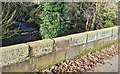
Border bridge, Dore and Totley
The Old Hay Brook marks the boundary between Totley parish to the south and Dore parish to the north. Both parishes were originally parts of Dronfield parish in Derbyshire only coming into Sheffield and Yorkshire in 1934.
These stones also record 11 miles to Bakewell and 5 miles to Sheffield.
At most times of the day it is almost impossible to pick out the outlines of the letters cut into the stone.
.
Image: © Chris Morgan
Taken: 27 Feb 2021
0.12 miles