
IMAGES TAKEN NEAR TO
Drovers, The Street, HAYWARDS HEATH, RH17 5PT
Introduction
This page details the photographs taken nearby to Drovers, The Street, RH17 5PT by members of the Geograph project.
The Geograph project started in 2005 with the aim of publishing, organising and preserving representative images for every square kilometre of Great Britain, Ireland and the Isle of Man.

There are currently over 7.5m images from over14,400 individuals and you can help contribute to the project by visiting https://www.geograph.org.uk
Image Map
Images are licensed for reuse under creativecommons.org/licenses/by-sa/2.0
Notes
- Clicking on the map will re-center to the selected point.
- The higher the marker number, the further away the image location is from the centre of the postcode.
Image Listing (152 Images Found)
Images are licensed for reuse under creativecommons.org/licenses/by-sa/2.0
Image
Details
Distance
1
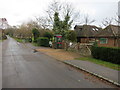
Telephone Kiosk
As shown on Ordnance Survey maps
Image: © The Saunterer
Taken: 25 Nov 2012
0.02 miles
2
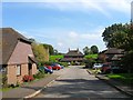
Paynesfield, Bolney
A small cul de sac built sometime in the 1990s and named after a local haulage company which operated out of the village for over 100 years. The houses on the left keep with the theme and are called Drovers. According to Bolney's 1842 tithe map this was once Upper Field and lies to the south of Image
Image: © Simon Carey
Taken: 19 Sep 2014
0.02 miles
3
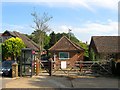
Telephone Exchange, The Street, Bolney
Built between the wars and for many years one of the few buildings located on the main village street between the old settlement of Bolney and that based around the former common.
Image: © Simon Carey
Taken: 19 Sep 2014
0.02 miles
4
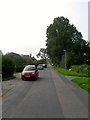
The Street, Bolney
Looking southwards down the village from the south west corner of Image This part of the village was developed from the 1930s onwards eventually joining the old part of the village with the settlement that was built on the old Bolney Common.
Image: © Simon Carey
Taken: 7 Sep 2014
0.04 miles
5
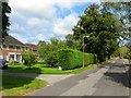
Wherry House, The Street, Bolney
A fairly recent build constructed in the grounds of Rutherford House which is just visible to its right. Both dwellings occupy a former field called Willow Plot according to Bolney's 1842 tithe map.
Image: © Simon Carey
Taken: 25 Sep 2014
0.04 miles
6
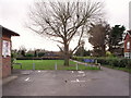
Car park for Batchelors Field and village hall, Bolney, West Sussex
Image: © nick macneill
Taken: 13 Dec 2009
0.06 miles
7
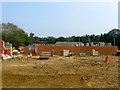
Rawson Hall, Bolney (Under Construction)
The new village hall has been started after the local villagers successfully raised the money for it. It is located on the western side of Image adjacent to The Street. It replaces Image which has been sold for development. The house in the distance is Image
Image: © Simon Carey
Taken: 7 Sep 2014
0.06 miles
8
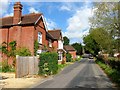
Redbrae, The Street, Bolney
A substantial Edwardian villa that overlooks Image Beyond is Willow Tree Cottage which is also the southern neighbour of Image, beyond which are the sandstone walls belonging to Image
Image: © Simon Carey
Taken: 25 Sep 2014
0.08 miles
9
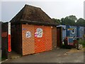
Public Convenience, The Street, Bolney
The village still retains these essential services which were much needed by this walker. Unlike the old pavilion to the south which has been removed to make way for Image this structure has been retained with the outside decorated with information on money raised for the new hall's construction.
Image: © Simon Carey
Taken: 7 Sep 2014
0.09 miles
10
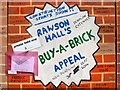
Rawson Hall's Buy-a-Brick Campaign, Batchelors Field, Bolney (2)
The south facing wall of the local Image is currently covered with information about the local fund raising efforts to pay for a new village hall which is now under construction to the immediate south, see Image, replacing the older building, Image, which has since been sold for development to pay for part of the costs. See also Image and Image
Image: © Simon Carey
Taken: 25 Sep 2014
0.09 miles