Wherry House, The Street, Bolney
Introduction
The photograph on this page of Wherry House, The Street, Bolney by Simon Carey as part of the Geograph project.
The Geograph project started in 2005 with the aim of publishing, organising and preserving representative images for every square kilometre of Great Britain, Ireland and the Isle of Man.

There are currently over 7.5m images from over 14,400 individuals and you can help contribute to the project by visiting https://www.geograph.org.uk
Wherry House, The Street, Bolney
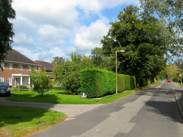
Image: © Simon Carey Taken: 25 Sep 2014
A fairly recent build constructed in the grounds of Rutherford House which is just visible to its right. Both dwellings occupy a former field called Willow Plot according to Bolney's 1842 tithe map.
Images are licensed for reuse under creativecommons.org/licenses/by-sa/2.0
Image Location
Latitude
50.992674
Longitude
-0.204004