
IMAGES TAKEN NEAR TO
Weston Avenue, HORSHAM, RH12 3XE
Introduction
This page details the photographs taken nearby to Weston Avenue, RH12 3XE by members of the Geograph project.
The Geograph project started in 2005 with the aim of publishing, organising and preserving representative images for every square kilometre of Great Britain, Ireland and the Isle of Man.

There are currently over 7.5m images from over14,400 individuals and you can help contribute to the project by visiting https://www.geograph.org.uk
Image Map
Images are licensed for reuse under creativecommons.org/licenses/by-sa/2.0
Notes
- Clicking on the map will re-center to the selected point.
- The higher the marker number, the further away the image location is from the centre of the postcode.
Image Listing (37 Images Found)
Images are licensed for reuse under creativecommons.org/licenses/by-sa/2.0
Image
Details
Distance
1
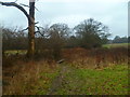
Footpath with plank bridge goes north from Broadbridge Heath
Image: © Shazz
Taken: 26 Jan 2016
0.11 miles
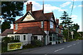
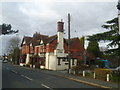
4
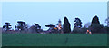
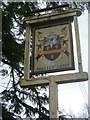
Illuminations at the Shelley public house
Image: © Andy Potter
Taken: 21 Apr 2006
0.12 miles
5
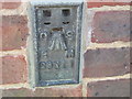
Ordnance Survey Flush Bracket S9511
This Bracket can be found on the wall of a house in Sullington Mead.
For more details see : http://www.bench-marks.org.uk/bm12982
Image: © Peter Wood
Taken: 3 Apr 2012
0.12 miles
7
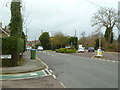
Junction of Billingshurst and Old Guildford Roads
Image: © Shazz
Taken: 26 Jan 2016
0.12 miles
8
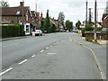
Old Guildford Road Broadbridge Heath
This was part of the main Horsham to Guildford road before the bypass was built around the village.
Image: © Dave Spicer
Taken: 14 Sep 2011
0.13 miles
10
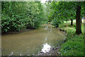
Linear pond, Broadbridge Heath
A small tributary of the Arun has been broadened out into a pond at the north end of Broadbridge Heath recreation ground. Water is retained by a small weir, but the level on the last day of July was well below overflowing. This pond is known locally as The Ducky.
Image: © Robin Webster
Taken: 31 Jul 2010
0.15 miles