Old Guildford Road Broadbridge Heath
Introduction
The photograph on this page of Old Guildford Road Broadbridge Heath by Dave Spicer as part of the Geograph project.
The Geograph project started in 2005 with the aim of publishing, organising and preserving representative images for every square kilometre of Great Britain, Ireland and the Isle of Man.

There are currently over 7.5m images from over 14,400 individuals and you can help contribute to the project by visiting https://www.geograph.org.uk
Old Guildford Road Broadbridge Heath
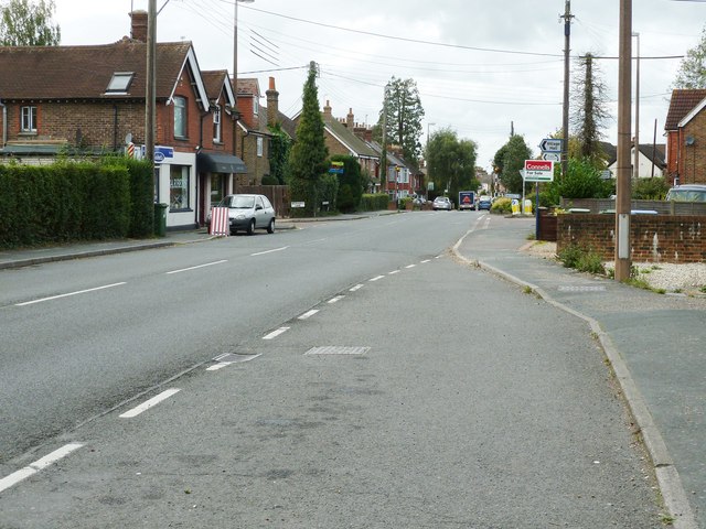
Image: © Dave Spicer Taken: 14 Sep 2011
This was part of the main Horsham to Guildford road before the bypass was built around the village.
Images are licensed for reuse under creativecommons.org/licenses/by-sa/2.0
Image Location
Latitude
51.071216
Longitude
-0.359121