Linear pond, Broadbridge Heath
Introduction
The photograph on this page of Linear pond, Broadbridge Heath by Robin Webster as part of the Geograph project.
The Geograph project started in 2005 with the aim of publishing, organising and preserving representative images for every square kilometre of Great Britain, Ireland and the Isle of Man.

There are currently over 7.5m images from over 14,400 individuals and you can help contribute to the project by visiting https://www.geograph.org.uk
Linear pond, Broadbridge Heath
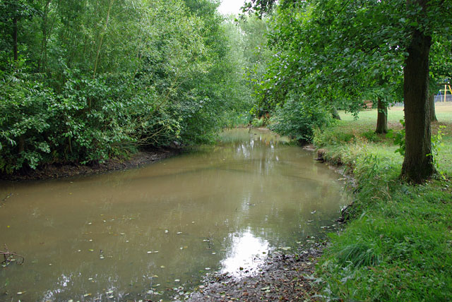
Image: © Robin Webster Taken: 31 Jul 2010
A small tributary of the Arun has been broadened out into a pond at the north end of Broadbridge Heath recreation ground. Water is retained by a small weir, but the level on the last day of July was well below overflowing. This pond is known locally as The Ducky.
Images are licensed for reuse under creativecommons.org/licenses/by-sa/2.0
Image Location
Latitude
51.074116
Longitude
-0.360731