
IMAGES TAKEN NEAR TO
Alder Road, PETERBOROUGH, PE7 8BU
Introduction
This page details the photographs taken nearby to Alder Road, PE7 8BU by members of the Geograph project.
The Geograph project started in 2005 with the aim of publishing, organising and preserving representative images for every square kilometre of Great Britain, Ireland and the Isle of Man.

There are currently over 7.5m images from over14,400 individuals and you can help contribute to the project by visiting https://www.geograph.org.uk
Image Map
Images are licensed for reuse under creativecommons.org/licenses/by-sa/2.0
Notes
- Clicking on the map will re-center to the selected point.
- The higher the marker number, the further away the image location is from the centre of the postcode.
Image Listing (13 Images Found)
Images are licensed for reuse under creativecommons.org/licenses/by-sa/2.0
Image
Details
Distance
1
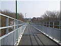
New pedestrian bridge ramp
Looking down towards Hampton Hargate. The very distant dome is the top of Serpentine Green shopping centre.
Image: © Michael Trolove
Taken: 21 Mar 2009
0.13 miles
2
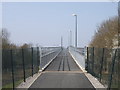
Pedestrian footbridge ramp
The access ramp on the Hampton Hargate side. Space allows a long shallow angled rise. Security cameras are all around watching.
Image: © Michael Trolove
Taken: 21 Mar 2009
0.14 miles
3
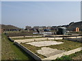
New township, new houses, new allotments
Allotments being created in Hampton Hargate. What was a wilderness, a worked out clay pit for brick making is now having new life breathed into it. Many allotments have suffered under the greedy eye of the land developer but times are changing and people are becoming more aware of food miles and allotments are a good first step to redressing the balance.
Image: © Michael Trolove
Taken: 21 Mar 2009
0.16 miles
4
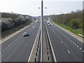
Looking west on the Orton Parkway
This part of the parkway system runs out to the A1M and the A605. The viewing point is the recently completed pedestrian access bridge between The Hamptons and the Ortons
Image: © Michael Trolove
Taken: 21 Mar 2009
0.16 miles
6
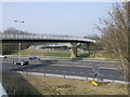
New pedestrian/cycle bridge
A recently completed (winter 09) pedestrian bridge linking Hampton Hargate to the Ortons by spanning the Orton Parkway which has also seen long term
roadworks.
Image: © Michael Trolove
Taken: 21 Mar 2009
0.17 miles
8
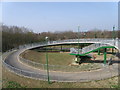
Access ramp, Orton
Space restriction meant that the Orton access ramp had to be a spiral with a set of steps also built into the structure.
Image: © Michael Trolove
Taken: 21 Mar 2009
0.22 miles
10
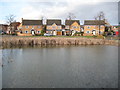
Hampton Hargate: Hope Pond
The pond is man-made, although the 1985 large scale Ordnance Survey map shows virtually all of where Hampton Hargate is now as being under water. The houses beyond are in Holly Walk.
Image: © Nigel Cox
Taken: 21 Jan 2012
0.24 miles