New township, new houses, new allotments
Introduction
The photograph on this page of New township, new houses, new allotments by Michael Trolove as part of the Geograph project.
The Geograph project started in 2005 with the aim of publishing, organising and preserving representative images for every square kilometre of Great Britain, Ireland and the Isle of Man.

There are currently over 7.5m images from over 14,400 individuals and you can help contribute to the project by visiting https://www.geograph.org.uk
New township, new houses, new allotments
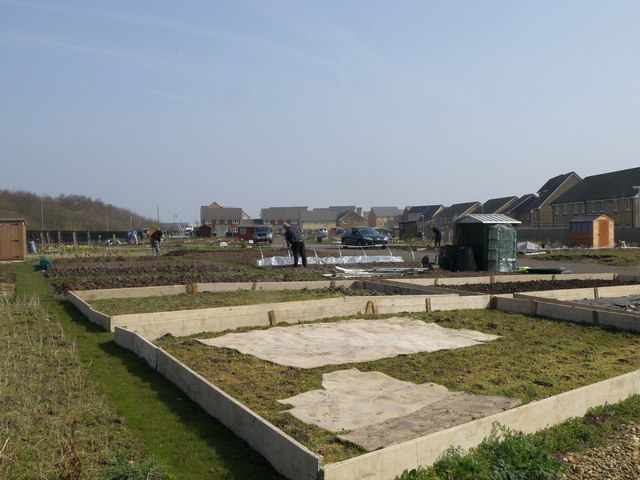
Image: © Michael Trolove Taken: 21 Mar 2009
Allotments being created in Hampton Hargate. What was a wilderness, a worked out clay pit for brick making is now having new life breathed into it. Many allotments have suffered under the greedy eye of the land developer but times are changing and people are becoming more aware of food miles and allotments are a good first step to redressing the balance.
Images are licensed for reuse under creativecommons.org/licenses/by-sa/2.0
Image Location
Latitude
52.543181
Longitude
-0.270568