
IMAGES TAKEN NEAR TO
Henrietta Street, ASHTON-UNDER-LYNE, OL6 6HW
Introduction
This page details the photographs taken nearby to Henrietta Street, OL6 6HW by members of the Geograph project.
The Geograph project started in 2005 with the aim of publishing, organising and preserving representative images for every square kilometre of Great Britain, Ireland and the Isle of Man.

There are currently over 7.5m images from over14,400 individuals and you can help contribute to the project by visiting https://www.geograph.org.uk
Image Map
Images are licensed for reuse under creativecommons.org/licenses/by-sa/2.0
Notes
- Clicking on the map will re-center to the selected point.
- The higher the marker number, the further away the image location is from the centre of the postcode.
Image Listing (368 Images Found)
Images are licensed for reuse under creativecommons.org/licenses/by-sa/2.0
Image
Details
Distance
1
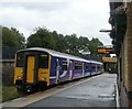
Stalybridge Train at Ashton
A train to Stalybridge leaving Ashton under Lyne Station.
Image: © Gerald England
Taken: 3 Sep 2008
0.06 miles
2
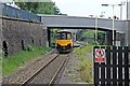
Northern Rail Class 150, 150146, Ashton-under-Lyne railway station
The train departs from platform 2, beneath the Henrietta Street bridge, heading for Huddersfield.
Image: © El Pollock
Taken: 30 May 2014
0.06 miles
3
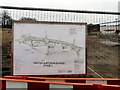
Ashton Northern Bypass Stage 2
Plans for the Ashton Northern bypass on the fence at Henrietta Street.
Close-up view Image
Image: © Gerald England
Taken: 4 Apr 2011
0.06 miles
4
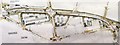
Ashton Northern Relief Road
Details of the plans for the Ashton Northern Relief Road posted at Henrietta Street Image
(Note larger size photos available)
Image: © Gerald England
Taken: 4 Apr 2011
0.06 miles
5
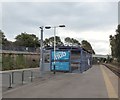
Cycle Hub at Ashton under Lyne railway station
One of a growing number across Greater Manchester. To use them you have to pay an annual fee of £10 and you cannot leave your bicycle overnight. For more information see: http://cycling.tfgm.com/Pages/join-a-hub.aspx
Image: © Gerald England
Taken: 24 Sep 2016
0.07 miles
6
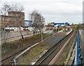
Ashton under Lyne Station
Viewed from the end of the Union Street car park. On the left can be seen the council offices. The blue building in the background is the Manchester IKEA store.
Image: © Gerald England
Taken: 4 Apr 2011
0.08 miles
7
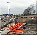
Northern Relief Road
The Ashton "Northern Relief Road" under construction. Viewed from Henrietta Street looking towards Wellington Road.
Image: © Gerald England
Taken: 4 Apr 2011
0.08 miles
8
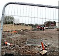
Relief Road under construction
The Ashton Northern Bypass under construction East of Henrietta Street Image
Image: © Gerald England
Taken: 4 Apr 2011
0.08 miles
9
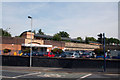
Ashton-under-Lyne: Station
This is the sole survivor of several passenger stations in Ashton. It was formerly known as Ashton (Charlestown), and had originally been the Lancashire and Yorkshire station. Now in 2010, train services from here go eastwards to Stalybridge and Huddersfield, and westward to Manchester (Victoria).
Image: © Dr Neil Clifton
Taken: 22 Sep 2010
0.08 miles
10
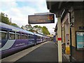
Ashton Station
Northern Rail service to Huddersfield about to depart Ashton under Lyne.
Image: © Gerald England
Taken: 17 Oct 2013
0.08 miles