Ashton-under-Lyne: Station
Introduction
The photograph on this page of Ashton-under-Lyne: Station by Dr Neil Clifton as part of the Geograph project.
The Geograph project started in 2005 with the aim of publishing, organising and preserving representative images for every square kilometre of Great Britain, Ireland and the Isle of Man.

There are currently over 7.5m images from over 14,400 individuals and you can help contribute to the project by visiting https://www.geograph.org.uk
Ashton-under-Lyne: Station
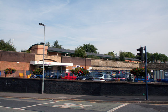
Image: © Dr Neil Clifton Taken: 22 Sep 2010
This is the sole survivor of several passenger stations in Ashton. It was formerly known as Ashton (Charlestown), and had originally been the Lancashire and Yorkshire station. Now in 2010, train services from here go eastwards to Stalybridge and Huddersfield, and westward to Manchester (Victoria).
Images are licensed for reuse under creativecommons.org/licenses/by-sa/2.0
Image Location
Latitude
53.491182
Longitude
-2.093558