Ashton under Lyne Station
Introduction
The photograph on this page of Ashton under Lyne Station by Gerald England as part of the Geograph project.
The Geograph project started in 2005 with the aim of publishing, organising and preserving representative images for every square kilometre of Great Britain, Ireland and the Isle of Man.

There are currently over 7.5m images from over 14,400 individuals and you can help contribute to the project by visiting https://www.geograph.org.uk
Ashton under Lyne Station
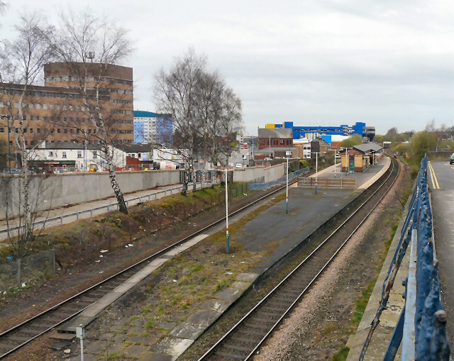
Image: © Gerald England Taken: 4 Apr 2011
Viewed from the end of the Union Street car park. On the left can be seen the council offices. The blue building in the background is the Manchester IKEA store.
Images are licensed for reuse under creativecommons.org/licenses/by-sa/2.0
Image Location
Latitude
53.491272
Longitude
-2.093559