
IMAGES TAKEN NEAR TO
Honeypot Lane, LONDON, NW9 9QD
Introduction
This page details the photographs taken nearby to Honeypot Lane, NW9 9QD by members of the Geograph project.
The Geograph project started in 2005 with the aim of publishing, organising and preserving representative images for every square kilometre of Great Britain, Ireland and the Isle of Man.

There are currently over 7.5m images from over14,400 individuals and you can help contribute to the project by visiting https://www.geograph.org.uk
Image Map
Images are licensed for reuse under creativecommons.org/licenses/by-sa/2.0
Notes
- Clicking on the map will re-center to the selected point.
- The higher the marker number, the further away the image location is from the centre of the postcode.
Image Listing (106 Images Found)
Images are licensed for reuse under creativecommons.org/licenses/by-sa/2.0
Image
Details
Distance
3
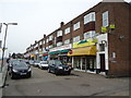
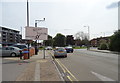
Parade of shops, Kenton Road, Kingsbury
Image: © Stacey Harris
Taken: 18 Feb 2011
0.03 miles
4
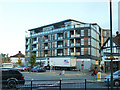
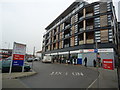
Block of flats and Tesco Express, Kingsbury
Built on the site of the Prince of Wales pub.
Image: © Robin Webster
Taken: 13 Oct 2012
0.03 miles
7
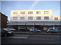
VB and sons cash and carry, Kenton Road
This used to be the Lex 584 garage before, I think that was the road number.
Image: © David Howard
Taken: 8 Jan 2015
0.06 miles
9
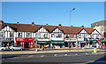
The Broadway, Kingsbury
A 1930s shop terrace with a touch of Mock Tudor on the first floor.
Image: © Des Blenkinsopp
Taken: 2 Oct 2019
0.07 miles
10
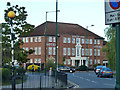
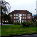
Kingsland Hotel, Kingsbury
Formerly called Kingsbury House, was this offices or flats?
Image: © Robin Webster
Taken: 13 Oct 2012
0.07 miles