IMAGES TAKEN NEAR TO
Larkspur Close, LONDON, NW9 9LS
Introduction
This page details the photographs taken nearby to Larkspur Close, NW9 9LS by members of the Geograph project.
The Geograph project started in 2005 with the aim of publishing, organising and preserving representative images for every square kilometre of Great Britain, Ireland and the Isle of Man.

There are currently over 7.5m images from over14,400 individuals and you can help contribute to the project by visiting https://www.geograph.org.uk
Image Map
Images are licensed for reuse under creativecommons.org/licenses/by-sa/2.0
Notes
- Clicking on the map will re-center to the selected point.
- The higher the marker number, the further away the image location is from the centre of the postcode.
Image Listing (151 Images Found)
Images are licensed for reuse under creativecommons.org/licenses/by-sa/2.0
Image
Details
Distance
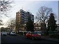
1
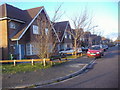
Larkspur Close
New housing, not yet on the OS map as of 2010 as built on allotments
Image: © David Howard
Taken: 11 Feb 2010
0.05 miles
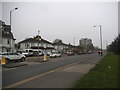
9
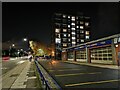
Kingsbury Road
Turn left for Colindale and right for Harrow
Image: © David Howard
Taken: 10 Jul 2019
0.10 miles