IMAGES TAKEN NEAR TO
Wakemans Hill Avenue, LONDON, NW9 0UR
Introduction
This page details the photographs taken nearby to Wakemans Hill Avenue, NW9 0UR by members of the Geograph project.
The Geograph project started in 2005 with the aim of publishing, organising and preserving representative images for every square kilometre of Great Britain, Ireland and the Isle of Man.

There are currently over 7.5m images from over14,400 individuals and you can help contribute to the project by visiting https://www.geograph.org.uk
Image Map
Images are licensed for reuse under creativecommons.org/licenses/by-sa/2.0
Notes
- Clicking on the map will re-center to the selected point.
- The higher the marker number, the further away the image location is from the centre of the postcode.
Image Listing (15 Images Found)
Images are licensed for reuse under creativecommons.org/licenses/by-sa/2.0
Image
Details
Distance
2
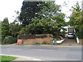
Coniston Gardens
Wembley Stadium dominates the horizon looking right across Kingsbury.
Image: © David Howard
Taken: 11 Mar 2009
0.18 miles
3
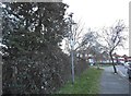
Hay Lane, Colindale
This used to be the way home for me from Burnt Oak until they blocked off the ski slope which is Buck Lane. Since then I've hardly ever been along it.
Image: © David Howard
Taken: 8 Oct 2013
0.18 miles
6
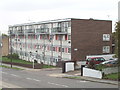
Flats in Hay Lane, Colindale
Looking West near the end of Buck Lane
Image: © David Hawgood
Taken: 12 Oct 2005
0.20 miles
8
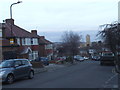
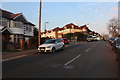
Springfield Gardens, Kingsbury
The tower block is by West Hendon Broadway and was completed around 2016.
Image: © David Howard
Taken: 20 Mar 2018
0.22 miles
9
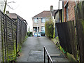
Path from Hay Lane to The Ridgeway
A steep ascent with steps behind the camera.
Image: © Robin Webster
Taken: 12 Feb 2011
0.23 miles