
IMAGES TAKEN NEAR TO
Katherine Close, LONDON, NW7 1DA
Introduction
This page details the photographs taken nearby to Katherine Close, NW7 1DA by members of the Geograph project.
The Geograph project started in 2005 with the aim of publishing, organising and preserving representative images for every square kilometre of Great Britain, Ireland and the Isle of Man.

There are currently over 7.5m images from over14,400 individuals and you can help contribute to the project by visiting https://www.geograph.org.uk
Image Map
Images are licensed for reuse under creativecommons.org/licenses/by-sa/2.0
Notes
- Clicking on the map will re-center to the selected point.
- The higher the marker number, the further away the image location is from the centre of the postcode.
Image Listing (60 Images Found)
Images are licensed for reuse under creativecommons.org/licenses/by-sa/2.0
Image
Details
Distance
1
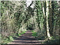
The course of the former Mill Hill East to Edgware railway line east of Devonshire Road (2)
See Image
Image: © Mike Quinn
Taken: 26 Feb 2020
0.02 miles
2
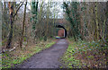
Sanders Lane Bridge
This is the other Sanders Lane bridge. This one remains in use and has been widened by the addition of a new concrete bridge on the opposite side.
Image: © Martin Addison
Taken: 19 Jan 2009
0.03 miles
3
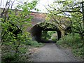
Sanders Lane bridge over footpath
This is a bridge over a footpath that now occupies the land that used to follow a railway extension between Mill Hill East and Edgware. It was proposed to electrify this line and incorporate it as part of the Northern line. Work started on this but was interrupted by the Second World War and never completed. Steam from trains that last ran under these arches can still be seen on the roof.
Image: © Hywel Williams
Taken: 1 May 2005
0.04 miles
4
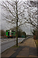
Sanders Lane Bridge
This is the bridge over the dismantled railway. The parapet on the right is on the original bridge as built by the Great Northern Railway. The opposite side is the more recent bridge. Two recycling lorries cross over the quite pronounced hump on route to their next collection area.
Image: © Martin Addison
Taken: 19 Jan 2009
0.04 miles
5
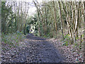
The course of the former Mill Hill East to Edgware railway line between Sanders Lane and Devonshire Road (4)
Image: © Mike Quinn
Taken: 26 Feb 2020
0.05 miles
6
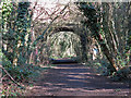
The course of the former Mill Hill East to Edgware railway line west of Devonshire Road (2)
See Image
Image: © Mike Quinn
Taken: 26 Feb 2020
0.06 miles
7
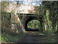
The Devonshire Road bridge over the former Mill Hill East to Edgware railway line (2)
See Image
Image: © Mike Quinn
Taken: 26 Feb 2020
0.06 miles
8
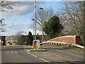
Devonshire Road
The brick wall (right) is the parapet of Image
Image: © Mike Quinn
Taken: 26 Feb 2020
0.06 miles
9
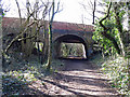
The Devonshire Road bridge over the former Mill Hill East to Edgware railway line
See Image
Image: © Mike Quinn
Taken: 26 Feb 2020
0.06 miles
10
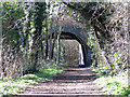
The course of the former Mill Hill East to Edgware railway line east of Devonshire Road
See Image
Image: © Mike Quinn
Taken: 26 Feb 2020
0.06 miles