Sanders Lane Bridge
Introduction
The photograph on this page of Sanders Lane Bridge by Martin Addison as part of the Geograph project.
The Geograph project started in 2005 with the aim of publishing, organising and preserving representative images for every square kilometre of Great Britain, Ireland and the Isle of Man.

There are currently over 7.5m images from over 14,400 individuals and you can help contribute to the project by visiting https://www.geograph.org.uk
Sanders Lane Bridge
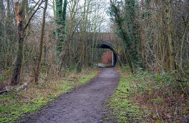
Image: © Martin Addison Taken: 19 Jan 2009
This is the other Sanders Lane bridge. This one remains in use and has been widened by the addition of a new concrete bridge on the opposite side.
Images are licensed for reuse under creativecommons.org/licenses/by-sa/2.0
Image Location
Latitude
51.608465
Longitude
-0.219667