1
Cedar Road, Sherwood Rise
Off Alberta Terrace.
Image: © JThomas
Taken: 27 Mar 2017
0.01 miles
2
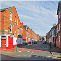
Forest Fields: Cedar Road
Forest Fields developed in the last twenty years of the 19th century, after the Borough expanded in 1877. This view of typical red-brick terraced houses shows the uphill stretch between Berridge Road and Gladstone Street.
Image: © John Sutton
Taken: 5 Sep 2013
0.02 miles
3
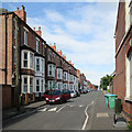
The north end of Foxhall Road
Seen from the corner of Gladstone Street. The trees in the distance are on the hillside on the other side of The Forest. Beyond the car coming up the hill Foxhall Road dips more steeply down to Gregory Boulevard. The 1:50,000 map shows the street layout here much more approximately than the 1:25,000 does.
Image: © John Sutton
Taken: 27 Apr 2011
0.02 miles
4
Madni Masjid and Muslims Education Centre
On Alberta Terrace, Forest Fields, City of Nottingham.
Image: © JThomas
Taken: 27 Mar 2017
0.04 miles
5
Berridge Road
The Sherwood Rise end of the road was developed with detached villas, followed by these imposing 3-storey terraced houses with full height bay, beyond which the development becomes steadily more working class in character.
Image: © Alan Murray-Rust
Taken: 27 Aug 2009
0.05 miles
6
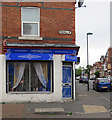
The corner of Foxhall Road and Berridge Road East
Forest Fields on a drab August morning.
Image] shows the same shop in October 2006.
Image: © John Sutton
Taken: 29 Aug 2017
0.05 miles
7
Houses on Alberta Terrace
Image: © JThomas
Taken: 27 Mar 2017
0.05 miles
8
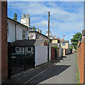
Sherwood Rise: Fourth Avenue
The pleasing villas on First, Second, Third and Fourth Avenues were some of the first houses built north of The Forest as Nottingham expanded after the Enclosure Act of 1845. The houses face south and the road approach is from the rear.
Image: © John Sutton
Taken: 6 Jul 2015
0.05 miles
9
Sherwood Rise: Alberta Terrace
Looking from Sherwood Rise towards Gladstone Street and Forest Fields. Any number of houses of this kind were built as Nottingham mushroomed in the last twenty years of the nineteenth century.
Image: © John Sutton
Taken: 6 Jul 2015
0.06 miles
10
Beech Avenue - looking east
The northern edge of Forest Fields, where it shades into New Basford. The typical three-storey terraced houses at this end of the road date, like much of the area, from the end of the 19th century. This is the view towards Sherwood Rise.
Image: © John Sutton
Taken: 27 Apr 2011
0.06 miles


