Sherwood Rise: Fourth Avenue
Introduction
The photograph on this page of Sherwood Rise: Fourth Avenue by John Sutton as part of the Geograph project.
The Geograph project started in 2005 with the aim of publishing, organising and preserving representative images for every square kilometre of Great Britain, Ireland and the Isle of Man.

There are currently over 7.5m images from over 14,400 individuals and you can help contribute to the project by visiting https://www.geograph.org.uk
Sherwood Rise: Fourth Avenue
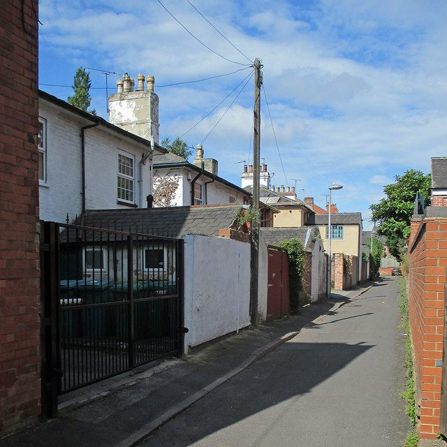
Image: © John Sutton Taken: 6 Jul 2015
The pleasing villas on First, Second, Third and Fourth Avenues were some of the first houses built north of The Forest as Nottingham expanded after the Enclosure Act of 1845. The houses face south and the road approach is from the rear.
Images are licensed for reuse under creativecommons.org/licenses/by-sa/2.0
Image Location
Latitude
52.970944
Longitude
-1.159537