Berridge Road
Introduction
The photograph on this page of Berridge Road by Alan Murray-Rust as part of the Geograph project.
The Geograph project started in 2005 with the aim of publishing, organising and preserving representative images for every square kilometre of Great Britain, Ireland and the Isle of Man.

There are currently over 7.5m images from over 14,400 individuals and you can help contribute to the project by visiting https://www.geograph.org.uk
Berridge Road
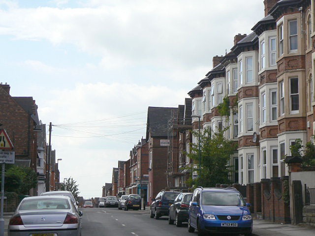
Image: © Alan Murray-Rust Taken: 27 Aug 2009
The Sherwood Rise end of the road was developed with detached villas, followed by these imposing 3-storey terraced houses with full height bay, beyond which the development becomes steadily more working class in character.
Images are licensed for reuse under creativecommons.org/licenses/by-sa/2.0
Image Location
Latitude
52.970231
Longitude
-1.160444