
IMAGES TAKEN NEAR TO
Clinton Avenue, NOTTINGHAM, NG5 1AW
Introduction
This page details the photographs taken nearby to Clinton Avenue, NG5 1AW by members of the Geograph project.
The Geograph project started in 2005 with the aim of publishing, organising and preserving representative images for every square kilometre of Great Britain, Ireland and the Isle of Man.

There are currently over 7.5m images from over14,400 individuals and you can help contribute to the project by visiting https://www.geograph.org.uk
Image Map
Images are licensed for reuse under creativecommons.org/licenses/by-sa/2.0
Notes
- Clicking on the map will re-center to the selected point.
- The higher the marker number, the further away the image location is from the centre of the postcode.
Image Listing (182 Images Found)
Images are licensed for reuse under creativecommons.org/licenses/by-sa/2.0
Image
Details
Distance
1

Up Hucknall Road
Nottingham City Transport's Brown Line routes serve Bulwell, Bestwood Park, Top Valley and Rise Park in the north of the city.
Image: © John Sutton
Taken: 14 Apr 2025
0.05 miles
2
Carrington, Nottingham NG5
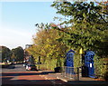
The main entrance of Carrington Primary School, Jenner Street with Hucknall Road (i.e. the A611) in the distance, with the entrance into the Lidl supermarket car park on the left.
Image: © David Hallam-Jones
Taken: 12 Oct 2014
0.07 miles
3
Hucknall Road blossom
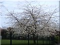
In stark contrast to the ugly neighbour Image is this blossom.
Image: © Michael Dibb
Taken: 30 Mar 2017
0.08 miles
4
Carrington, Nottingham NG5
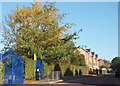
The main entrance to Carrington Primary School on Jenner Street. Acorn House, the new-ish (2013) care-home and dementia unit is seen on the Wesley Road/Oak Street corner site ahead.
Image: © David Hallam-Jones
Taken: 12 Oct 2014
0.08 miles
5
Housing association
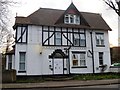
Recently a hotel, this building now houses Right Choice an organization that provides housing and support and rehabilitation for ex-offenders, helping them reintegrate with society and stop offending.
Image: © Michael Dibb
Taken: 30 Mar 2017
0.08 miles
6
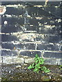
Damaged benchmark at #16 Alexander Road
The remains of a 1962 Ordnance Survey cut mark benchmark which is described on the Bench Mark Database at http://www.bench-marks.org.uk/bm35137.
Image: © Roger Templeman
Taken: 10 Aug 2010
0.08 miles
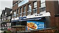
8
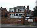
Victorian Villa
On Clumber Avenue; now part of the Clarendon College campus.
Image: © Alan Murray-Rust
Taken: 15 Mar 2009
0.09 miles
9
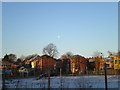
Houses on Ebury Road, from Loscoe Road
The fairly imposing three storey houses near the centre of the picture are at the east end of Ebury Road as it joins Hucknall Road. They are seen from Loscoe Road across (in order of proximity to the photographer) a patch of wasteground, Wesley Street, and the playing field of Carrington Primary School.
Image: © Richard Vince
Taken: 4 Jan 2010
0.10 miles
10
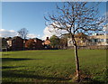
Nottingham, NG5 - "Sherrington"
With the Oak Street/Wesley Street junction to the rear of the photographer, this is a view across the playing field that belongs to Carrington Primary and Nursery School. The two-storey building beyond the tree is a British Telecom depot, whereas the houses are some situated on Hucknall Road and Fern Road with the tall square tower of Claremont Primary School visible.
Image: © David Hallam-Jones
Taken: 4 Nov 2012
0.10 miles