Nottingham, NG5 - "Sherrington"
Introduction
The photograph on this page of Nottingham, NG5 - "Sherrington" by David Hallam-Jones as part of the Geograph project.
The Geograph project started in 2005 with the aim of publishing, organising and preserving representative images for every square kilometre of Great Britain, Ireland and the Isle of Man.

There are currently over 7.5m images from over 14,400 individuals and you can help contribute to the project by visiting https://www.geograph.org.uk
Nottingham, NG5 - "Sherrington"
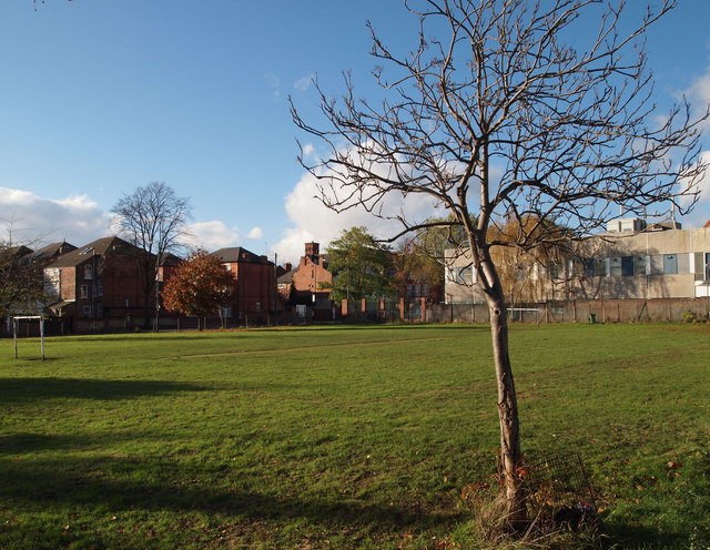
Image: © David Hallam-Jones Taken: 4 Nov 2012
With the Oak Street/Wesley Street junction to the rear of the photographer, this is a view across the playing field that belongs to Carrington Primary and Nursery School. The two-storey building beyond the tree is a British Telecom depot, whereas the houses are some situated on Hucknall Road and Fern Road with the tall square tower of Claremont Primary School visible.
Images are licensed for reuse under creativecommons.org/licenses/by-sa/2.0
Image Location
Latitude
52.973334
Longitude
-1.154278