Houses on Ebury Road, from Loscoe Road
Introduction
The photograph on this page of Houses on Ebury Road, from Loscoe Road by Richard Vince as part of the Geograph project.
The Geograph project started in 2005 with the aim of publishing, organising and preserving representative images for every square kilometre of Great Britain, Ireland and the Isle of Man.

There are currently over 7.5m images from over 14,400 individuals and you can help contribute to the project by visiting https://www.geograph.org.uk
Houses on Ebury Road, from Loscoe Road
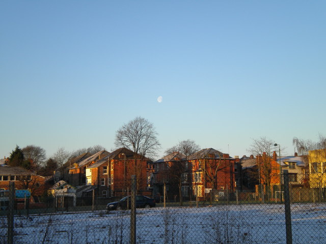
Image: © Richard Vince Taken: 4 Jan 2010
The fairly imposing three storey houses near the centre of the picture are at the east end of Ebury Road as it joins Hucknall Road. They are seen from Loscoe Road across (in order of proximity to the photographer) a patch of wasteground, Wesley Street, and the playing field of Carrington Primary School.
Images are licensed for reuse under creativecommons.org/licenses/by-sa/2.0
Image Location
Latitude
52.97343
Longitude
-1.15517