
IMAGES TAKEN NEAR TO
Garesfield Gardens, NEWCASTLE UPON TYNE, NE16 6LF
Introduction
This page details the photographs taken nearby to Garesfield Gardens, NE16 6LF by members of the Geograph project.
The Geograph project started in 2005 with the aim of publishing, organising and preserving representative images for every square kilometre of Great Britain, Ireland and the Isle of Man.

There are currently over 7.5m images from over14,400 individuals and you can help contribute to the project by visiting https://www.geograph.org.uk
Image Map
Images are licensed for reuse under creativecommons.org/licenses/by-sa/2.0
Notes
- Clicking on the map will re-center to the selected point.
- The higher the marker number, the further away the image location is from the centre of the postcode.
Image Listing (17 Images Found)
Images are licensed for reuse under creativecommons.org/licenses/by-sa/2.0
Image
Details
Distance
2
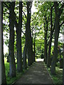
Sycamore Lined Walkway
that leads you to St James Church Burnopfield
Image: © Christine Westerback
Taken: 28 May 2006
0.06 miles
4
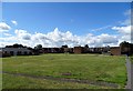
Modern housing estate at the Lintz
This is at the western end of Burnopfield village. The original estate at the Lintz was a council one built in 1955, this additional one was built in 1967, and was private I think. The old farm of High Friarside was demolished to make way for it. In contrast, Leazes Farm, just along the road, was retained when an estate was built around it in the 1980's, although converted to residential use.
Image: © Robert Graham
Taken: 3 Aug 2020
0.09 miles
5
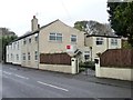
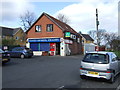
For sale, 6 High Friarside
On Front Street, Burnopside.
Image: © Christine Johnstone
Taken: 12 Apr 2012
0.13 miles
7
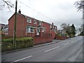
New houses on Front Street
A little bit of infill in Burnopfield.
Image: © Christine Johnstone
Taken: 12 Apr 2012
0.13 miles
8
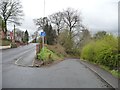
From High Friarside to Low Friarside
No through road dropping down from Front Street (B6310) at the 167 metre spot height.
Image: © Christine Johnstone
Taken: 12 Apr 2012
0.15 miles
9
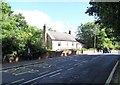
Old farm at The Leazes
This buildings stands beside the B6310 running east to the Leazes area of Burnopfield from Medomsley. It is called High Friarside, and was probably a small farmstead originally.
Image: © Robert Graham
Taken: 3 Aug 2020
0.15 miles
10
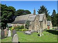
St James Church, Burnopfield
Located at the Leazes, at the western end of the village, this was opened in 1873. Burnopfield Parish had been created in the 1870s to cater for the expanding population.
Image: © Robert Graham
Taken: 3 Aug 2020
0.15 miles