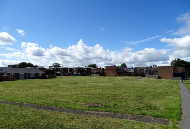
Modern housing estate at the Lintz
Introduction
The photograph on this page of Modern housing estate at the Lintz by Robert Graham as part of the Geograph project.
The Geograph project started in 2005 with the aim of publishing, organising and preserving representative images for every square kilometre of Great Britain, Ireland and the Isle of Man.
There are currently over 7.5m images from over 14,400 individuals and you can help contribute to the project by visiting https://www.geograph.org.uk

Image: © Robert Graham Taken: 3 Aug 2020
This is at the western end of Burnopfield village. The original estate at the Lintz was a council one built in 1955, this additional one was built in 1967, and was private I think. The old farm of High Friarside was demolished to make way for it. In contrast, Leazes Farm, just along the road, was retained when an estate was built around it in the 1980's, although converted to residential use.

