IMAGES TAKEN NEAR TO
Christie Close, CHATHAM, ME5 7NG
Introduction
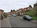
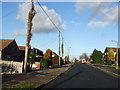
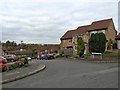
This page details the photographs taken nearby to Christie Close, ME5 7NG by members of the Geograph project.
The Geograph project started in 2005 with the aim of publishing, organising and preserving representative images for every square kilometre of Great Britain, Ireland and the Isle of Man.

There are currently over 7.5m images from over14,400 individuals and you can help contribute to the project by visiting https://www.geograph.org.uk
Image Map
Images are licensed for reuse under creativecommons.org/licenses/by-sa/2.0
Notes
- Clicking on the map will re-center to the selected point.
- The higher the marker number, the further away the image location is from the centre of the postcode.
Image Listing (59 Images Found)
Images are licensed for reuse under creativecommons.org/licenses/by-sa/2.0
Image
Details
Distance
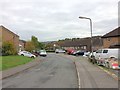
3

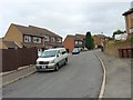
Footpath to Emily Road
This path leads from Lordswood Lane down a valley side, towards a road, just off Princes Avenue and a large Morrisons supermarket (at the bottom of the valley).
More houses are on the other side of the valley.
Image: © David Anstiss
Taken: 14 Jul 2015
0.04 miles