Footpath to Emily Road
Introduction
The photograph on this page of Footpath to Emily Road by David Anstiss as part of the Geograph project.
The Geograph project started in 2005 with the aim of publishing, organising and preserving representative images for every square kilometre of Great Britain, Ireland and the Isle of Man.

There are currently over 7.5m images from over 14,400 individuals and you can help contribute to the project by visiting https://www.geograph.org.uk
Footpath to Emily Road
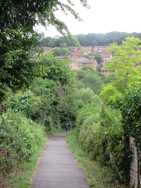
Image: © David Anstiss Taken: 14 Jul 2015
This path leads from Lordswood Lane down a valley side, towards a road, just off Princes Avenue and a large Morrisons supermarket (at the bottom of the valley). More houses are on the other side of the valley.
Images are licensed for reuse under creativecommons.org/licenses/by-sa/2.0
Image Location
Latitude
51.352429
Longitude
0.537612