IMAGES TAKEN NEAR TO
The Grove, LEEDS, LS8 2QQ
Introduction
This page details the photographs taken nearby to The Grove, LS8 2QQ by members of the Geograph project.
The Geograph project started in 2005 with the aim of publishing, organising and preserving representative images for every square kilometre of Great Britain, Ireland and the Isle of Man.

There are currently over 7.5m images from over14,400 individuals and you can help contribute to the project by visiting https://www.geograph.org.uk
Image Map
Images are licensed for reuse under creativecommons.org/licenses/by-sa/2.0
Notes
- Clicking on the map will re-center to the selected point.
- The higher the marker number, the further away the image location is from the centre of the postcode.
Image Listing (80 Images Found)
Images are licensed for reuse under creativecommons.org/licenses/by-sa/2.0
Image
Details
Distance
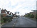
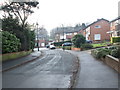
1
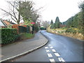
North Lane - viewed from North Grove Drive
Image: © Betty Longbottom
Taken: 21 Jan 2014
0.05 miles

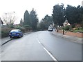
5
North Lane - viewed from North Grove Drive
Image: © Betty Longbottom
Taken: 21 Jan 2014
0.06 miles
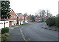
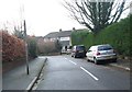
8
North Grove Rise - North Grove Drive
Image: © Betty Longbottom
Taken: 21 Jan 2014
0.08 miles
9
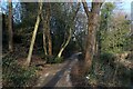
Wykebeck Woods
As the name suggests - woods beside Wyke Beck. The path is part of a green corridor that runs southwards from Roundhay Park to Rothwell, via Temple Newsam.
Image: © Chris Heaton
Taken: 23 Feb 2022
0.08 miles
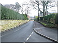
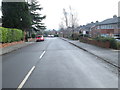
10
North Grove Drive - viewed from North Grove Rise
Image: © Betty Longbottom
Taken: 21 Jan 2014
0.09 miles